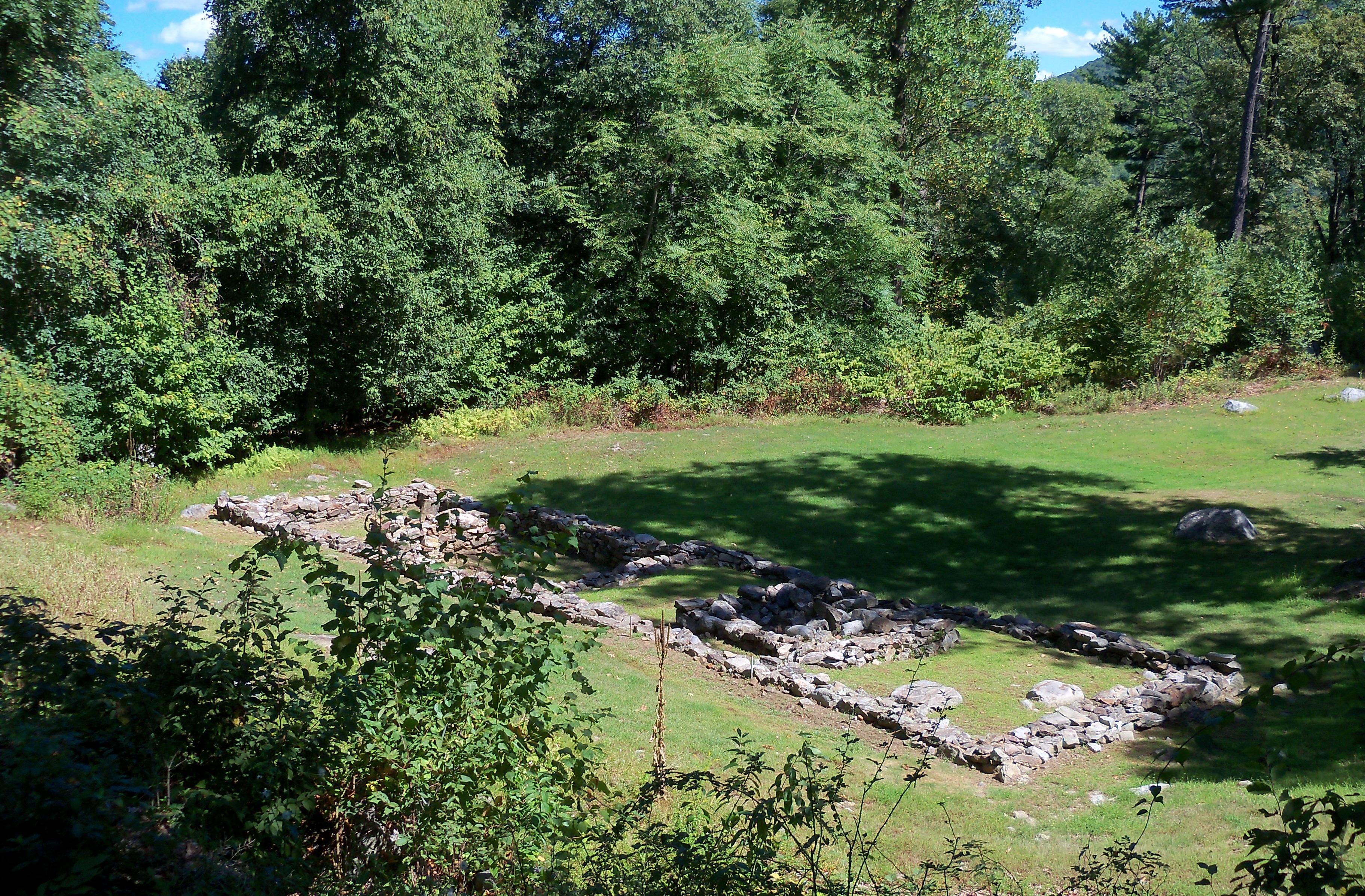
At a historic site, the ground itself is part of the interpretation. A path, a grade change, or the way a visitor arrives can affect how the place is understood. I worked on design development and construction documents for Grand and Putnam Battery improvements at Fort Montgomery State Historic Site while at The LA Group. The work sharpened a question that applies to many public landscapes: how do you make a place easier to use while respecting what makes it significant?
Read the site before drawing a solution
Fort Montgomery is a Revolutionary War landscape along the Hudson River, not an empty parcel waiting for new amenities. The Grand Battery is one of the places where visitors encounter both the historic setting and expansive river views. Existing terrain, circulation, exposed remains, and the visitor’s sequence through the site all matter. A design move that makes perfect sense on a blank plan can feel intrusive on the ground.
The first lesson is to distinguish between a problem with access and a problem with clarity. Sometimes a path needs a better grade or more precise edges. Sometimes people need a more legible route through an existing landscape. Those are different responses, and they carry different consequences for an important historic place.
Turn a design intention into a buildable document
My role included design-development and construction-document work for the Grand and Putnam Battery improvements as part of The LA Group team. At that stage, broad intentions have to become drawings that can be understood, coordinated, and built. Grading, path alignment, material transitions, and details must be considered together. A line on a plan is only the beginning; the sections and details reveal whether it works with the terrain.
This is where the technical side of landscape architecture matters. Digital drafting and three-dimensional thinking help test a proposal against the site’s topography, but neither tool makes the judgment call for you. The purpose is to see conflicts early enough to refine the design before they become field problems.
The best intervention often feels clear to a visitor and restrained in its setting.
Protect the visitor’s sense of place
Good public-site design is not only about getting from one point to another. It is about what people notice on the way, where they pause, and whether the work supports the site’s purpose. At a place such as Fort Montgomery, views, earthwork, remnants, and interpretation are part of that experience. I approached the documentation with an awareness that any new element must sit within a much older story.
That does not mean making a contemporary site impossible to use. It means being deliberate about changes and giving the broader project team enough information to evaluate them. The drawings are a way to make choices visible and coordinate them with the people responsible for the historic resource.
A lesson beyond historic sites
For parks, civic properties, and even private sites with distinctive terrain, the same principle holds: document what gives the place character before changing it. The most useful solution is often a careful adjustment to route, grade, or material rather than a dramatic gesture. This is the kind of disciplined problem solving I bring to site design work in the Capital Region and beyond.
This article discusses my design-documentation experience as a member of The LA Group team. It does not publish the firm’s plans or claim sole authorship of the project. The historic-site photograph is independently licensed and predates the work described.